NAME
r.surf.random - Produces a raster surface map of uniform random deviates with defined range.KEYWORDS
raster, surface, randomSYNOPSIS
r.surf.random
r.surf.random --helpr.surf.random [-i] output=name [min=float] [max=float] [--overwrite] [--help] [--verbose] [--quiet] [--ui]
Flags:
- -i
- Create an integer raster map
- --overwrite
- Allow output files to overwrite existing files
- --help
- Print usage summary
- --verbose
- Verbose module output
- --quiet
- Quiet module output
- --ui
- Force launching GUI dialog
Parameters:
- output=name [required]
- Name for output raster map
- min=float
- Minimum random value
- Default: 0
- max=float
- Maximum random value
- Default: 100
Table of contents
DESCRIPTION
r.surf.random produces a raster map layer of uniform random deviates whose range can be expressed by the user. It is essentially the same as r.surf.gauss, but uses a linear random number generator instead. It uses the random number generator drand48() or rand(), depending on the user's platform.EXAMPLE
g.region -p n=228500 s=215000 w=630000 e=645000 res=10
r.surf.random out=random min=0 max=100

# check result
r.univar random
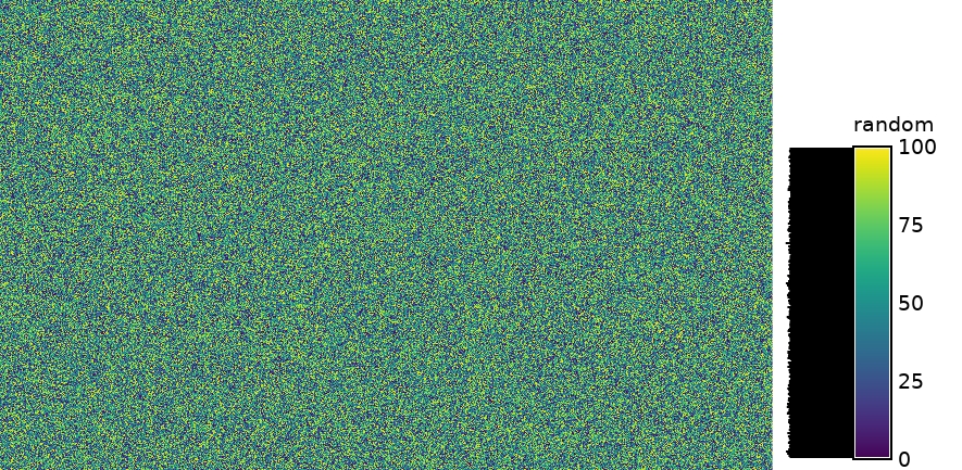
Figure: Random surface example (min: 10; max: 100)
With the histogram tool the cell values versus count can be shown.
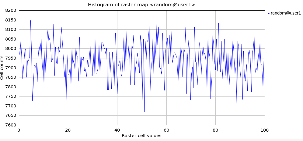
Figure: Histogram of random surface example (min: 10; max: 100)
SEE ALSO
r.random.surface, r.surf.contour, r.surf.fractal, r.surf.gauss, r.surf.idw, v.surf.rstAUTHOR
Jo WoodMidlands Regional Research Laboratory (ASSIST)
University of Leicester
October 1991
SOURCE CODE
Available at: r.surf.random source code (history)
Accessed: Monday Apr 01 03:08:02 2024
Main index | Raster index | Topics index | Keywords index | Graphical index | Full index
© 2003-2024 GRASS Development Team, GRASS GIS 8.3.2 Reference Manual